
Coralville Neighbor Record Sources
No official roll lists every person living around a Coralville address. The sound block lookup combines parcel geometry, assessment roles, deeds, limited voter routes, historical directories, and public meeting records. Each source answers a smaller question and carries its own date.
| Source | What it shows about a block | Access |
|---|---|---|
| Johnson County PIV | Touching parcels, addresses, city/ZIP, class, aerial and planning context | Free interactive map |
| County property lookup | Parcel, legal description, mailing name and address, assessment links | Free address or parcel search |
| Recorder index | Grantor, grantee, instrument and legal-description roles | Online index; older help by phone or in person |
| Iowa voter status | One named person's status and polling information | Individual verification, not a block export |
| Local directories and papers | Dated historical households and community activity | Library, archive, and digital collections |
A deedholder, mailing name, grantor, grantee, permit contact, and historical resident are different roles. None should be silently relabeled as a current occupant. The map establishes a parcel relationship, not a family tie.
Start by writing the question in parcel terms. “Which lots touch this address?” can be answered from map geometry. “Who owns those lots in the current assessment record?” can be checked one parcel at a time. “Who lives in every nearby home?” cannot be answered by the public parcel system. Breaking the question apart keeps a useful Coralville neighbors search from turning into an unsupported household list.
Start a Coralville Neighbor Map
The Johnson County Property Information Viewer accepts address and parcel searches. Its help describes separate Parcel and Address Point result sections. A parcel popup can show the parcel number, address, city and ZIP, property class, deedholder, assessor report, more-information links, and bird's-eye photos.
Dynamic map layers can change, so record the retrieval date and the layers used. PIV routes users to land-record, flood, elevation, voting, zoning, aerial, and planning context. It does not certify occupancy.
Map controls also support pan, zoom, identify, measurement, printing, and link-out work described in the official help. Begin at a scale where parcel lines are clear. Select the address result before clicking outward, since a search can return an address point and a parcel as separate objects. A screenshot or printed map can preserve the working boundary for later verification.
Map Coralville Adjacent Parcels
Use parcel geometry to decide which properties are next to the subject address. Sequential numbers can miss a rear lot, a corner parcel, a multiple-address site, or land across an alley. Click each touching shape and preserve its own parcel number.
- Search the full address in PIV and select the correct Address Point or Parcel result.
- Record the subject parcel, then click every parcel that touches its boundary.
- Note any road, alley, creek, or lot line that changes what “next door” means.
- Open assessor or deed links only to capture the named public-record role and date.
- Use the same map scale for the full set so the block boundary stays consistent.
For the full named road rather than the immediate block, switch to the Coralville street directory. The block method remains narrower and more precise.
Read Coralville Block Layers
Parcel shape is only the first layer. Flood, elevation, zoning, aerial, voting, and planning views can explain why two close homes do not share the same access, district, or development history. Coralville's Iowa River setting makes flood and aerial context especially useful. A creek, roadway, or mitigation project may shape the practical block more than a postal number sequence.
The Johnson County GIS locator page links PIV, polling-place, school-area, and planning viewers.
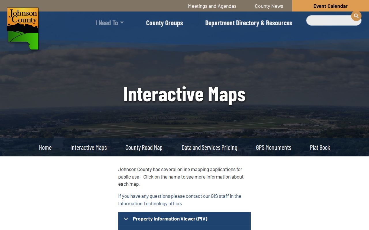
The separate viewer links show why one map should not be treated as a complete resident directory.
Compare Coralville Neighbor Roles
The assessor may display a mailing name and address. PIV may expose a deedholder link. The Recorder identifies grantors and grantees on a dated instrument. A permit can list an owner, applicant, contractor, or contact. These fields can point to different people for the same property, and each label should survive in the research note.
- Situs address
- The physical location assigned to a parcel.
- Mailing name
- The name used for assessment or tax correspondence, which may be sent elsewhere.
- Deedholder
- A land-record role connected with the parcel, not proof of occupancy.
- Address point
- A mapped location for an address, which may differ from the parcel center.
When two systems disagree, compare their update dates and legal descriptions. Do not choose the result that merely looks more current.
The county's parcel sample shows why the distinction matters. A record can carry multiple site addresses, a mailing name, assessment links, map links, and title-history references. One parcel may therefore correspond to more than one address point, while one mailing address may belong to a person or entity elsewhere. Capture the fields as shown before drawing any conclusion about your neighbors.
Coralville Neighbor Voter Limits
The Iowa Secretary of State's voter-status search takes first name, last name, and ZIP, with conditional house-number and birth-date verification. It is an individual status and polling-place tool. It is not a public block browser. Johnson County voter-file requests are a separate process governed by Iowa Code section 48A.39 and require a permitted purpose.
Special-election polling information should be checked with the Johnson County Auditor. A move, name change, new registration, or processing delay can alter status. Even a confirmed voter result does not establish every member of a household or a parcel boundary.
County voter files are not a substitute for the individual lookup. Iowa law limits their use, and the Auditor's request route asks for a declared purpose. If the aim is to understand precinct context, use the county's polling and voting maps. If the aim is to confirm one's own status, use the Secretary of State tool with the required personal fields. Do not attempt to reconstruct a block roster from polling data.
Coralville Civic Neighbor Networks
No city-maintained umbrella list of neighborhood associations or HOA rosters was located. That gap should remain visible. A July 2026 city notice about neighborhood block parties documented civic connection without requiring an HOA. Coralville neighbors may organize around an event, street, school, congregation, project, or informal group rather than a formal association directory.
| Public route | Useful search terms | What it may show |
|---|---|---|
| Agenda Center | Street, subdivision, project, board, date | Packets, minutes, speakers, public actions |
| Planning and Zoning | Parcel, development, site plan | Dated land-use context |
| City archive | Street, neighborhood event, report | Municipal notices and records |
These are civic records, not member rosters. A speaker or contact name proves participation in that dated record only.
Search the Coralville Agenda Center by time period, date, term, category, and year. Planning and Zoning, City Council, commissions, and library-board records may place a street or subdivision in a public project discussion. Minutes, packets, media, and formal actions can explain a block's civic history without making claims about private households.
City staff can also route a narrow Iowa Public Records Act request when the online archive lacks a document. Name the street, subdivision, project, board, record type, and date range. Chapter 22 allows requests in person, in writing, by phone, or electronically, subject to exemptions and reasonable actual costs. A custodian need not create a new neighborhood roster that the city does not keep.
Official Coralville Neighbor Records
Commercial neighbor tools may merge postal, marketing, and older data without showing the source date or public-record role. Official systems are narrower but disclose the custodian and purpose. That makes them easier to verify.
| Source type | Strength | Limit |
|---|---|---|
| County parcel and deed systems | Defined fields, map, legal description, dated instrument | Ownership roles do not prove who lives there |
| City meeting and permit records | Dated civic or project role | Not a household directory |
| Commercial category | May combine many sources | Age, origin, and correction status may be unclear |
Check Coralville Neighbor Boundaries
Coralville's east corporate line meets Iowa City's west line. North Liberty is to the north and Tiffin to the northwest. USPS also associates more than one ZIP entry with the Coralville city name, but a postal association is not a map of the corporate boundary.
Normalize the subject address through USPS, then compare PIV's city and ZIP fields, the assessor parcel, and the City's boundary context. A result that says Iowa City is not automatically unrelated to Coralville, and a Coralville mailing label is not automatic proof of city jurisdiction. This check matters before describing a group of parcels as Coralville neighbors.
Use “nearby parcel” when the record supports distance but not a direct edge. Use “touching parcel” only after inspecting the geometry. Avoid assigning neighborhood names that no city or civic source documents.
Multiple-address parcels deserve special care. A civic building, complex, or corner tract can have several site addresses on one legal parcel. Conversely, attached or closely spaced structures may sit on separate parcels. Count the shapes and parcel identifiers first, then describe the addresses. This avoids overstating how many distinct properties or owners surround the subject site.
Read Coralville Block History
Current parcel geometry can be paired with old directories, newspapers, atlases, aerials, and Coralville Digital History. The city grew through distinct eras tied to Iowa River mills, incorporation, the reservoir, I-80, major retail growth, and Iowa River Landing. Those terms can locate a block in records that do not use its current label.
The Coralville Courier archive spans 1968 through 1988 and can be searched for streets, schools, events, and businesses. Oral histories and photographs add local context. Keep recollection separate from deed or parcel evidence, and never use a historical name as proof that the same person remains nearby today.
A block-history note works best as a timeline: dated map or aerial, directory household, permit or planning action, and current parcel. This preserves change without turning the page into a current resident roster.
Request Coralville Block Records
Online archives do not contain every plan, packet, permit, or older map. Start with the office that holds the record. Community Development handles planning, zoning, subdivisions, building services, code enforcement, and community plans. The City Clerk keeps proceedings and many municipal record categories. Johnson County offices hold parcel, deed, voter, and GIS material.
Describe an existing record rather than asking for a new neighbor list. Give the street, address range, parcel or subdivision, board or department, document class, and date range. Ask for electronic inspection when suitable, and ask about redaction and estimated costs before a broad search begins.
If a record is withheld or redacted, keep the custodian's reason with the result. A gap in a public response does not justify seeking confidential household or account data elsewhere.
For county material, the public-records policy offers request channels and explains that review, redaction, format, and reasonable costs may affect delivery. For municipal records, direct the request to the City Clerk or the department that holds the file. Ask first whether an existing agenda packet, archive category, parcel layer, or permit result already answers the question.
Coralville Neighbor Privacy Limits
Parcel systems do not publish a complete roster of household members. Confidential court, juvenile, vital, motor-vehicle, and protected voter data remain restricted. Iowa Safe at Home provides a substitute address, mail forwarding, and confidential voting route for eligible survivors. A missing address may reflect protection, not a bad search.
Do not seek utility, delivery, or other private account data to fill the gap. Public records should be used for lawful civic interest, reconnecting, property curiosity, and safety awareness, with the custodian's warnings preserved.
Postal geography also deserves restraint. USPS associates several ZIP entries with the Coralville city name, but those associations are not legal city boundaries. PIV may display a city and ZIP in its popup while an assessor record uses a mailing address elsewhere. Check the exact address and parcel before calling someone a Coralville neighbor.
Save enough detail to repeat the lookup: the map date, subject parcel, touching parcel numbers, chosen layers, source links, and the exact public role attached to each name. If an alley or road separates the parcels, use “nearby” instead of “next door.” Clear wording prevents map proximity from becoming an unsupported claim about people.
Iowa Safe at Home is a critical reason not to chase a missing address. Eligible survivors can use a substitute address, mail forwarding, and confidential voter procedures. Courts, vital records, juvenile files, motor-vehicle data, and other protected material also have separate limits. Respecting those limits is part of an accurate neighbor lookup, because absence from a public screen can be the intended operation of the law.
Lawful use. Never use Coralville neighbor records to watch, harass, intimidate, confront, or harm a person.