
Walk a Coralville Street Directory
A street-by-street search works best as a chain, not a list of guessed house numbers. The assessor establishes the parcel and mailing role. PIV supplies the map shape and address point. Recorder instruments document land roles. Coralville permits add dated applicant, owner, contractor, and contact fields. Historical directories may identify occupants in an earlier year, but they belong in a dated archive trail.
- Verify the street and unit through USPS, especially near the Coralville and Iowa City line.
- Run the full or partial address in the Johnson County parcel lookup and save the parcel number.
- Open the place in PIV, then click each relevant parcel rather than assuming sequential numbers describe every lot.
- Use the Recorder index and legal description to follow deeds, liens, plats, releases, and related instruments.
- Check city permits for dated project roles, then use a directory only for an earlier household.
Coralville Address Search Controls
The Johnson County parcel lookup accepts Street Address or Parcel. A full or partial address may omit the street type. A parcel page can provide situs location, mailing data, parcel identifier, section-township-range, legal or subdivision description, all attached addresses, and links to tax, assessment, map, title, exemption, and petition information.
| Control | Format | Street use |
|---|---|---|
| Street Address | Full or partial text | Find parcels along one Coralville street |
| Parcel | Known identifier | Return to the exact mapped unit |
| Map and title links | Result actions | Move to geometry and recorded instruments |
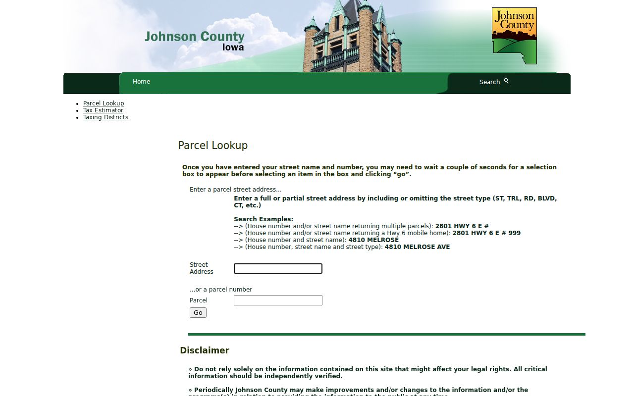
The captured screen shows the exact address and parcel entry points. It is not a household roster, so keep each name under the role the record assigns.
Map Coralville Streets in PIV
The Property Information Viewer turns a linear search into a map walk. Its help describes parcel and address-point results, plus pop-ups for parcel number, address, city and ZIP, class, deedholder, assessor report, more information, and Bird's Eye View. County GIS also offers aerial, land-record, flood, elevation, voting, zoning, polling-place, school-area, and planning views.
Click every parcel touching the target stretch. Corner parcels may face another road. A rear lot, alley parcel, multi-unit site, or parcel with several situs addresses can disappear from a number-by-number search. Map geometry shows proximity, not a household relationship. Save the date, selected layer, and parcel number, then confirm important facts with the Assessor or Recorder.
Coralville Street Directory Sources
A Coralville address can appear in several official systems, but each answers a different question. The street directory is strongest when address, parcel, legal description, and date travel together.
| Record Set | Keeper | What It Shows | Access |
|---|---|---|---|
| Parcel card | Johnson County Assessor | Situs, mailing, legal, tax, parcel links | Free lookup; office verification |
| Property Information Viewer | Johnson County GIS | Parcel shapes, address points, map layers | Free viewer |
| Deeds, liens, and plats | Johnson County Recorder | Parties, instruments, legal descriptions | Online index; copies vary |
| Permit files | Coralville Community Development | Address, owner, applicant, contractor, status | Online from 2017; older by request |
| Voter records | Secretary of State and Auditor | Individual status or controlled file | Verification or limited request |
The parcel number and legal description are safer links than a name. They connect assessor and deed material even when a mailing contact changes. Permit records often use the street address instead. Iowa's voter-status tool is an individual check with first name, last name, ZIP, and follow-up verification. County voter files require a permitted purpose under Iowa Code §48A.39 and are not an open street export.
Follow Coralville Deeds by Address
The Recorder's real-estate guide states that land images begin in January 1840 and online party indexing begins in November 1983. Begin with the parcel title link or deed reference, then search the relevant grantor or grantee. A grantor transfers an interest; a grantee receives one. Check the image, parcel, and legal description before tying the party to the land.
Subdivision searches need care. Enter the subdivision name in Last/Firm Name, show the names list, select the indexed form, and return those names. Do not add “addition” unless it is indexed. Try spelling variants and Part 5, Part Five, or Part V. Releases and assignments before May 5, 2003 may lack reliable links, so inspect image notes or search the party separately.
Read Coralville Permit Roles
The Coralville permit portal searches permit number, type, property address, owner, contractor, contact, applicant, and status. Results include permit, project, address, type, subtype, work description, status, owner, plus issue, application, expiration, and final dates. Online results reach back to 2017. Earlier files route to Community Development at 319-248-1720.
A permit owner may be the parcel owner at filing. An applicant may be an agent. A contractor or contact has a project role. None proves occupancy. The dated work description may still explain a new unit, addition, demolition, or changed address pattern.
Coralville Address Terms Decoded
These labels repeat across a Coralville street directory search. Define them before combining results because each is narrower than “resident.”
- Parcel
- A mapped unit of land with a county identifier. One parcel may have several addresses.
- Situs address
- The physical location, distinct from the mailing address.
- Plat
- A recorded map dividing land into lots, blocks, streets, or subdivisions.
- Criss-cross directory
- A historical directory arranged by street and house number for a stated year.
A legal description may survive when a street label changes. Preserve both original wording and the modern normalized address.
Verify Coralville Postal Geography
Coralville ordinarily uses 52241, yet USPS associates the city name with 52246, 52317, and 52340. Those are postal associations, not legal boundaries. Use the USPS address lookup with street, unit, city, state, and ZIP, then compare the PIV pop-up and assessor record.
This matters along Coralville's east edge, where Iowa City is adjacent. A mailing city can differ from the jurisdiction that taxes, maps, permits, or keeps the file. USPS also warns that a ZIP result does not confirm a person or company at an address.
Coralville Streets Across Time
No official citywide street-renumbering index was located. Do not modernize an old address by guesswork. Compare its original form with plats, deeds, city project packets, USPS normalization, maps, and custodian files. The historical shelf belongs on the Coralville city directory page; here, an old entry is only one dated address layer.
Coralville's growth eras can guide searches. Iowa River mill sites and the 1876 schoolhouse predate much modern development. The reservoir, Interstate 80, mall construction, and Iowa River Landing redevelopment changed routes and land use. The city timeline supplies those era terms.
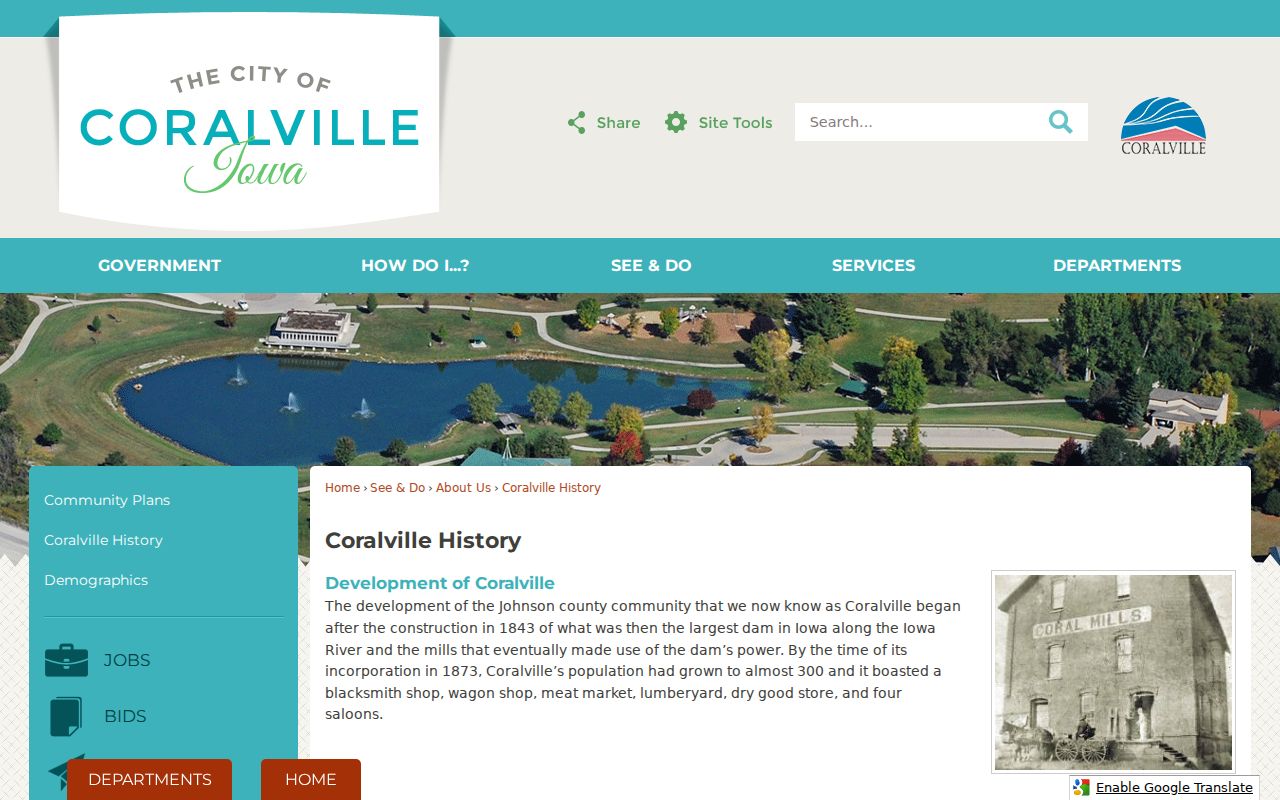
The timeline dates the setting around an address. It does not replace a plat, deed, or dated directory.
Request Coralville Street Records
When a known record is offline, Iowa Code Chapter 22 permits requests in person, in writing, by phone, or electronically. State the street, number range, record class, project, and dates. Ask for the existing format and a cost estimate. A custodian may charge reasonable production costs and redact protected details.
Permit files route to Community Development. County land records go to the Recorder. Parcel questions go to the Assessor. The City Clerk routes municipal proceedings, licenses, and cemetery files. Older maps and directories may require a library, the Johnson County Historical Society by appointment, or State Historical Society microfilm.
Coralville Recorder Search Fields
The Recorder's direct name search provides more controls than a simple address box. Last/Firm, Middle, First Name 1, First Name 2, and Title fields can use Begins With, Contains, Exactly, or Sounds Like. Searchers can limit Party One or Party Two, filed dates, index type, record group, and a specific instrument kind. The buttons separate final results from a names list.
Use that control set after the parcel search supplies a likely deed party or title reference. The result can show grantors, grantees, filing date, instrument date, kind, remarks, file number, book and page, image, legal description, parcel identifier, and page count. Copy the parcel and legal text beside the name. A same-name hit on another instrument does not belong in the street directory unless the land description confirms the match.
Coralville Street Evidence Timeline
Put each address fact on a dated line: USPS form, current parcel card, deed filing, permit event, map layer, and historical directory year. This prevents a former owner, old mailing contact, or permit applicant from being presented as a current occupant. It also makes gaps visible. The online permit floor is 2017, Recorder party indexing starts in 1983, and earlier land images reach back much farther.
For older gaps, the Iowa City Public Library local-history holdings include area directories, phonebooks, plats, Sanborn routes, yearbooks, census, and cemetery material. Johnson County Historical Society offers atlases, deeds, aerials, maps, and resident collections by appointment. Confirm the precise run before visiting, since no complete Coralville-only criss-cross sequence was established in the research.
Limits of Coralville Street Directories
No official Coralville street directory identifies every occupant. Parcel data centers on land and mailing roles. Deeds name parties to instruments. Permits document project roles. An individual voter search uses verification controls, while county lists are purpose-limited. Motor-vehicle personal data is restricted, court and vital records can be confidential, and Iowa Safe at Home gives eligible survivors a substitute address and confidential voting route.
Absence from a portal proves little. The source may stop at a coverage date, use another spelling, hold an image offline, or lawfully withhold it. Commercial directory products may merge old and current data. Use the custodian, keep the source date, and label unresolved identities.
Lawful use. Use Coralville address records only for lawful personal, civic, or family research. Never use a street trail to stalk, harass, threaten, or harm anyone.